Drone Mapping is a growing area of Drone technology, but there are things that you need to know in order to safely & successfully map. As an FAA licensed Drone pilot who has mapped using Drone Deploy and Litchi with clients who have used varying processing software, there are basic fundamentals that you need to stick to no matter the variables. Here are some tips.
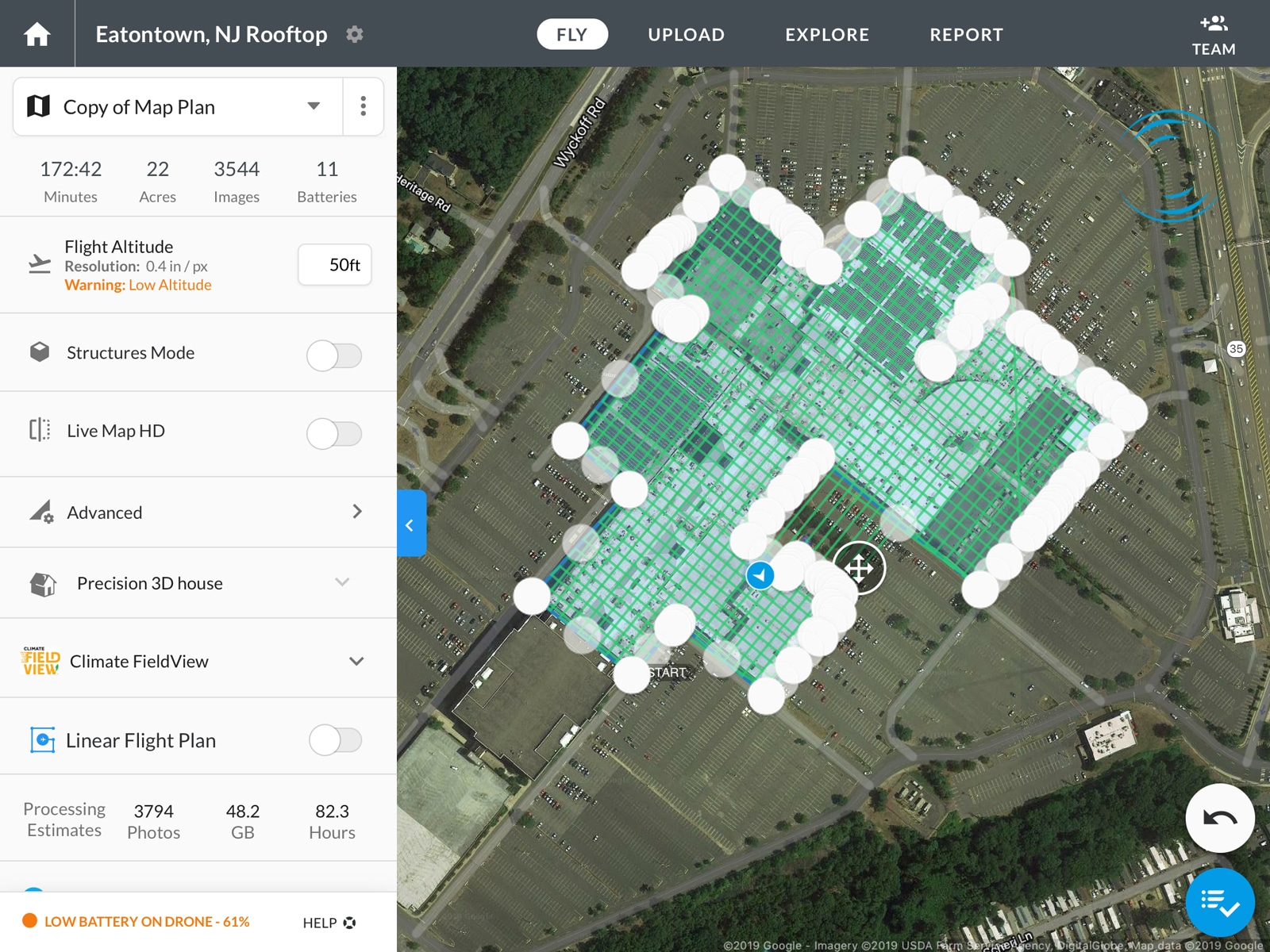
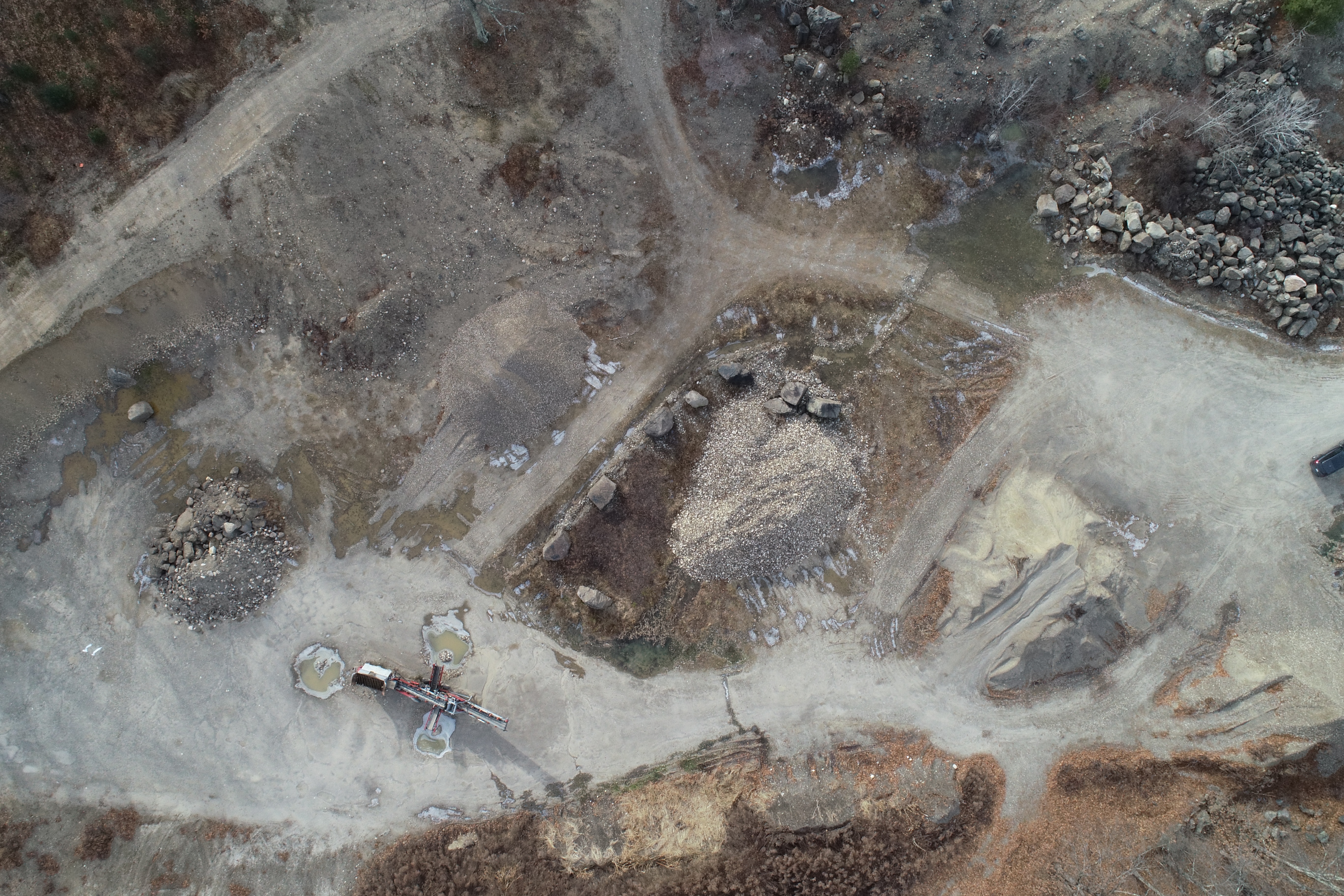
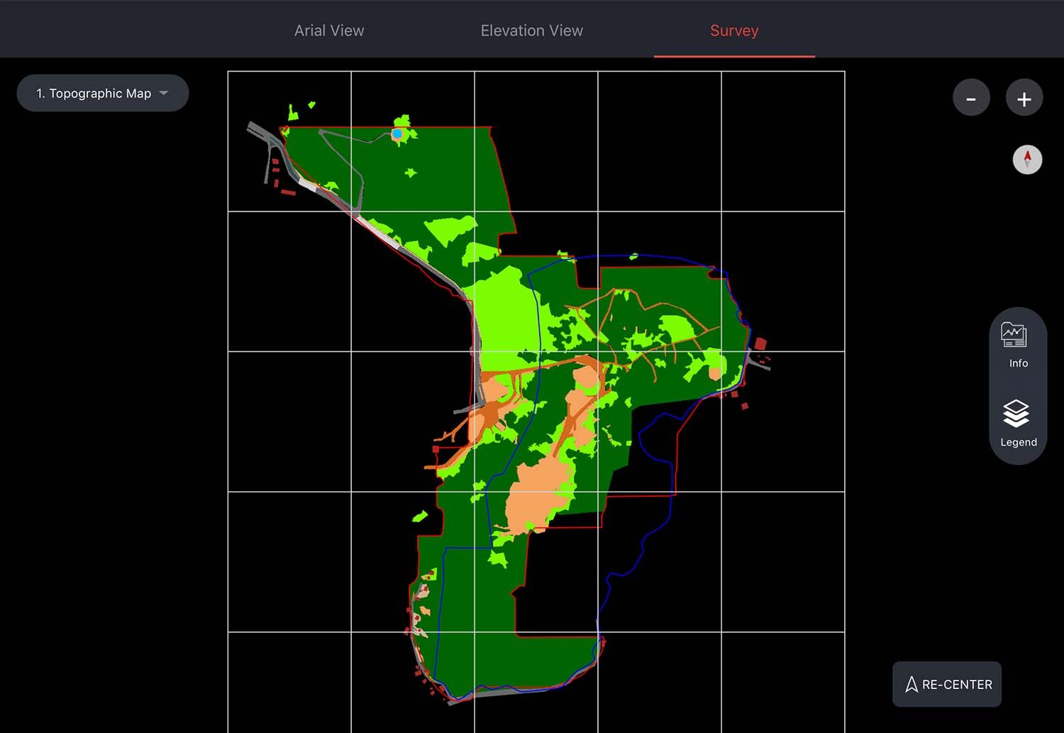
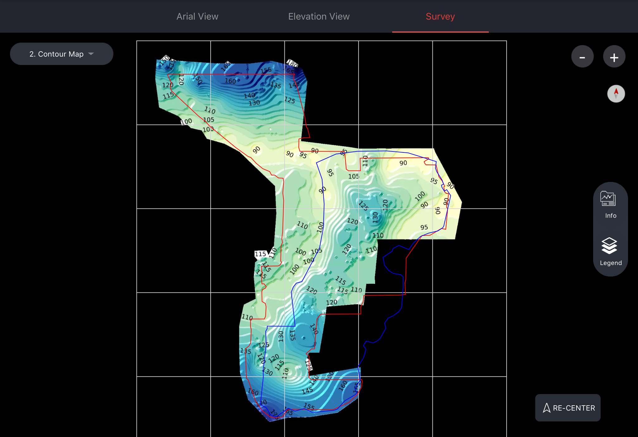
1. Site Survey. Whenever possible, include in your estimate a site survey before mapping. Google Earth is a great flight planning tool, but it can be very inaccurate when it comes to current visuals. I once mapped a 600 acre property in Puerto Rico that was almost all Jungle. Google Earth’s visuals were about 3 years old when the land had been cleared. We you do a Site Survey, which means visiting the site before flying the missions, you can fly around the property and see the minimum height needed to maintain VLOS as well as Obstructions and Launch points. Many clients may not want to pay for this, so you have to stipulate that your estimate is based on no site survey and the scope of the job can change once you’re on site.
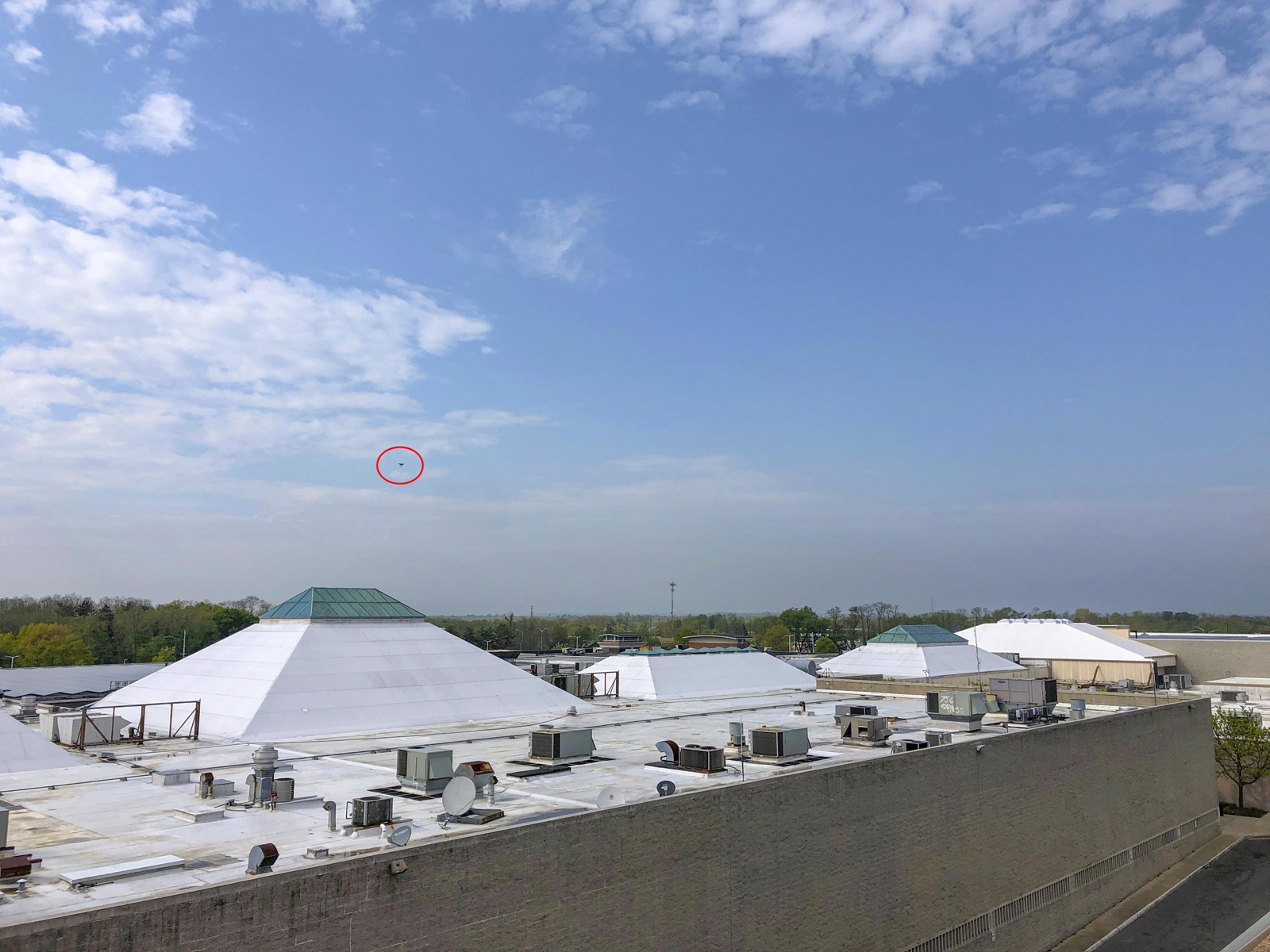
2. Stick to the Rules. Many pilots complain about the restrictive nature of FAA Regulations, but often times these rules can protect you and your drone. Most Mapping flight plans that I fly, come from someone else who created them. These flight plans aren’t always realistic or practical. For example, the flight path could take you past a building or a stand of trees where you lose line of site. Losing VLOS may be fine on an automated flight for a few seconds, but for several minutes it can be hazardous. Make sure that you have any understanding with your client that once you start mapping, you need to be able to change flight plans to keep everyone safe.
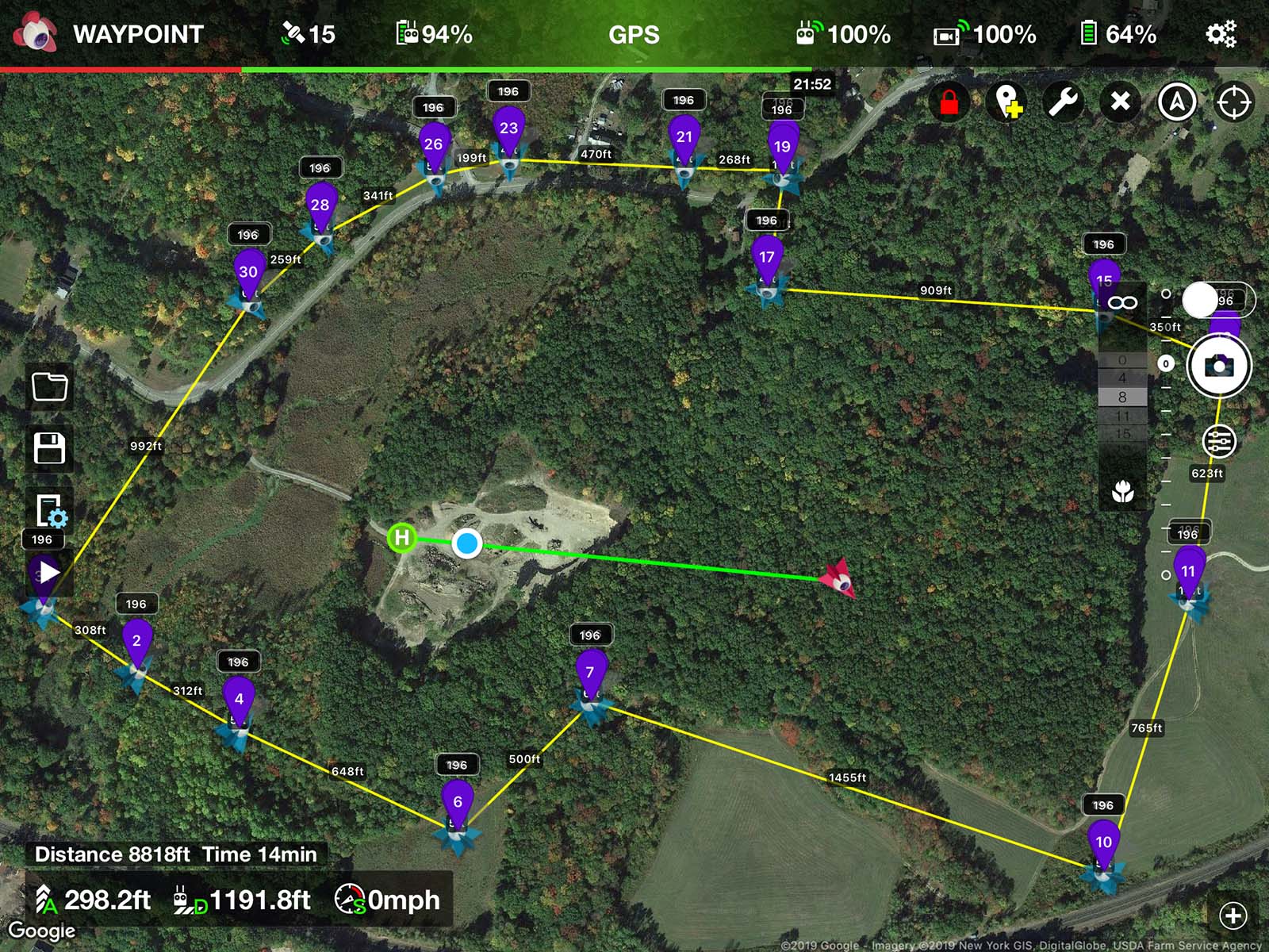
3. Practice, Practice, Practice. If you’ve never flown automated missions, it can be a very strange experience the first time doing it. I hated it at first and still don’t like handing over the controls to software. So before doing automated missions, go out to a big field and practice mapping. Get very familiar with the software you’ll be using. Make adjustments to the map in between missions, so as to get used to adjusting on the fly. Also, practice emergency procedures such as RTH (Return to home), try switching out of GPS and take control of the drone while mapping is in progress (this will abort the mission), but will give you control in an emergency. Practice every scenario you can think of, so when you show up to a site, you have much more confidence in what you are doing and can fly safer.
4. Don’t rely on collision avoidance. I once had a client who wanted me to fly really low mapping missions. When I said that it was too dangerous, his response was, well you’ve got collision avoidance right? Yes. I do, but collision avoidance will abort the mission and make it difficult to map. Interrupting missions for this reason really slows things down a lot.
5. Power Management. When you map a large property, you’re going to be using a lot of batteries. If you don’t own dozens of batteries, you’re going to have to charge as you fly. So make sure you can either have access to power or the ability to bring a generator. I’ve used an outlet in my minivan, generator or even given a local shop owner $20 to plug in my chargers.
Recent Comments