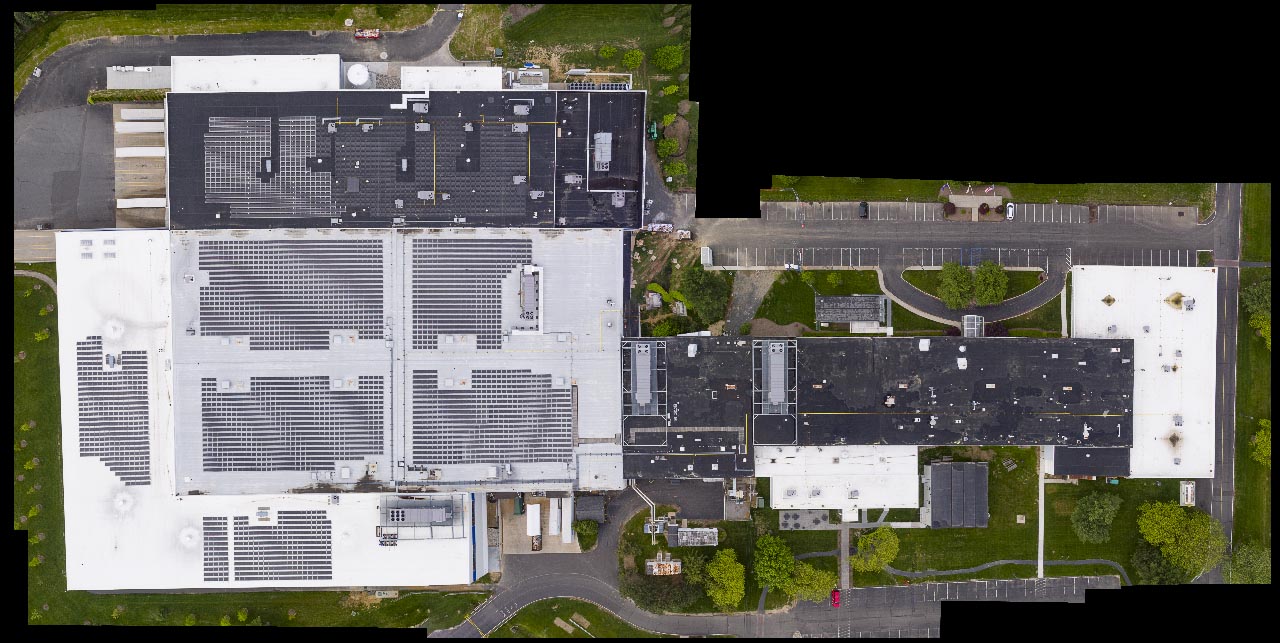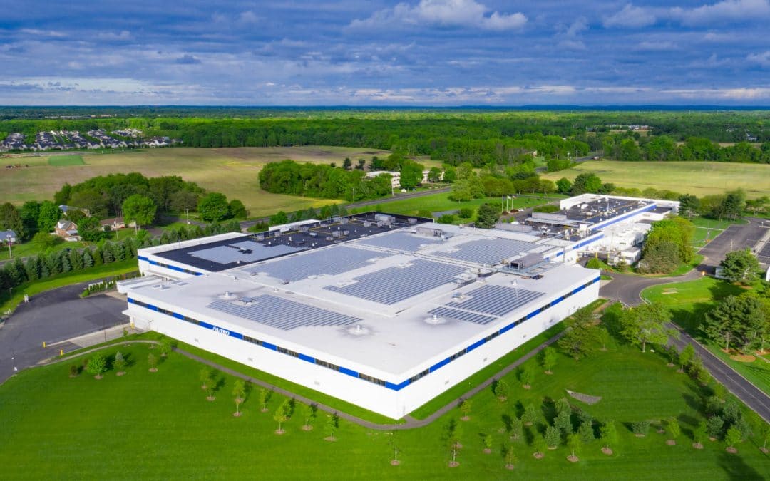
Industrial Facility captured by Aerial Drone Photography
It was a great morning to conduct Aerial Drone Operations at the Shiseido Production facility. Aerojo uses AirMap.io and Sky Vector to check air space to ensure that we are compliant with the FAA Regulations. We then monitor the weather and use Google Earth and Maps to determine the best time of day for Aerial Drone Operations. When we arrive at the location, we already have an idea of where our launch sites and shooting angles will be. All this preparation helps us to focus on getting the most creative imagery in a safe and efficient manner.